Lhasa + Nyingchi + Grand Canyon + Namtso Lake + Yamdrok Lake 8-day 7-night group Trip
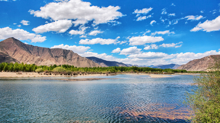
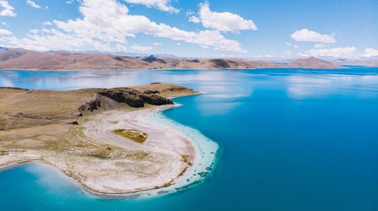
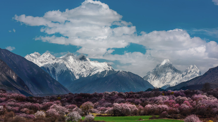
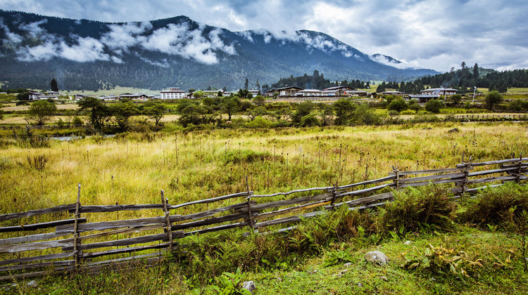
【Preferred Itinerary】🌲First, descend to the fairyland of Nyingchi to acclimate to the lower altitude and have fun in the picturesque town of Lulang; 🌲Then explore the cultural sanctuary of Lhasa and marvel at the power of faith; 🌲Overlook the sacred lake of Yamdrok, witness the myriad of light and shadow magic, gaze at the boundless plateau sea, and admire its clarity where water meets the sky.
Note:
- High-altitude areas, users with weak cardiopulmonary function should proceed with caution.
- You can choose an oxygen-supplied hotel and carry a portable oxygen canister with you.
Itinerary
Acclimatize to high altitude
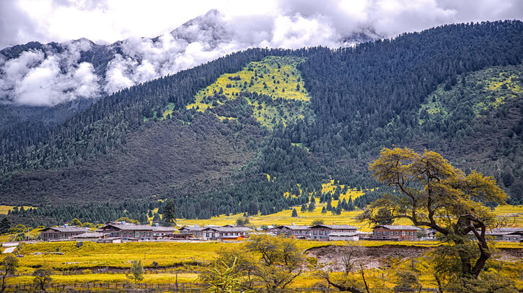
Overnight in Lulang and savor the local delicacy Stone Pot Chicken.
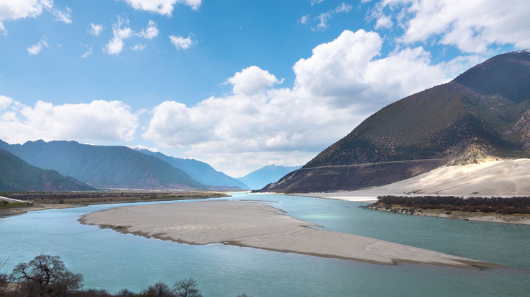
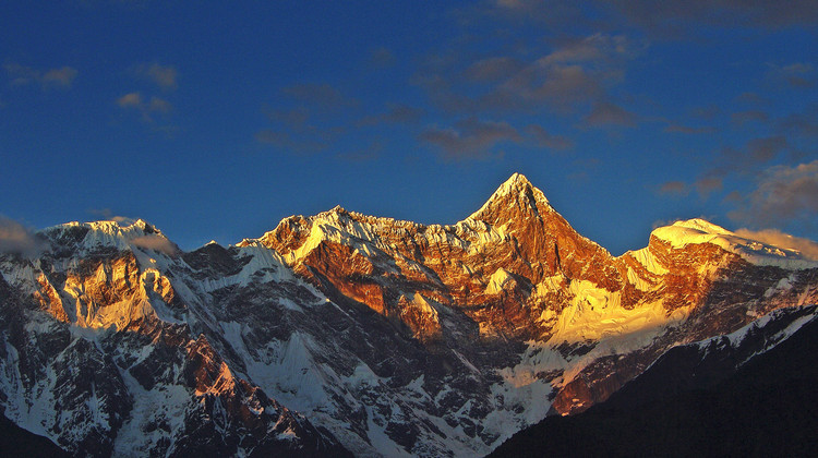
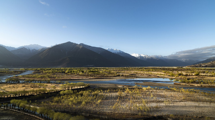
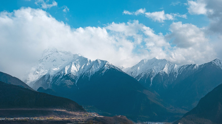
The Yarlung Tsangpo Grand Canyon, also known as the Yarlung Zangbo Grand Canyon, the Tsangpo Canyon, the Brahmaputra Canyon or the Tsangpo Gorge (simplified Chinese: 雅鲁藏布大峡谷; traditional Chinese: 雅魯藏布大峽谷; pinyin: Yǎlǔzàngbù Dàxiágǔ’), is a canyon along the Yarlung Tsangpo River in Tibet Autonomous Region, China. It is the deepest canyon in the world,[1][a] and at 504.6 kilometres (313.5 mi) is slightly longer than the Grand Canyon in the United States, making it one of the world’s largest. The Yarlung Tsangpo (Tibetan name for the upper course of the Brahmaputra) originates near Mount Kailash and runs east for about 1,700 kilometres (1,100 mi), draining a northern section of the Himalayas before it enters the gorge just downstream of Pei, Tibet, near the settlement of Zhibe. The canyon has a length of about 240 kilometres (150 mi) as the gorge bends around Mount Namcha Barwa (7,782 metres or 25,531 feet) and cuts its way through the eastern Himalayas. Its waters drop from about 2,900 metres (9,500 ft) near Pei to about 1,500 metres (4,900 ft) at the end of the Upper Gorge where the Po Tsangpo River enters. The river continues through the Lower Gorge to the Indian border at an elevation of 660 metres (2,170 ft). The river then enters Arunachal Pradesh and eventually becomes the Brahmaputra.
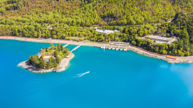
Dragsum Tsho (Tibetan: བྲག་གསུམ་མཚོ་, Wylie: brag gsum mtsho, THL: Draksum Tso, Pagsum Co (simplified Chinese: 八松错; traditional Chinese: 八松錯; pinyin: Bāsōng Cuò), literally meaning “three rocks” in Tibetan,[1] is a lake covering 28 square kilometres in Gongbo’gyamda County, Nyingchi of the Tibet Autonomous Region, China, approximately 300 km (190 mi) east of Lhasa. At 3,700 metres over sea level it is about 18 km long and has an average width of approximately 1.5 km (0.93 mi). The deepest point of the green lake measures 120 metres. The lake is also known as Gongga Lake.
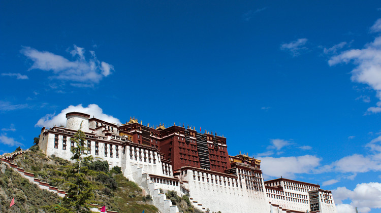
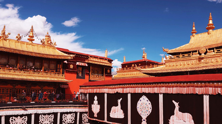
The Potala Palace is a dzong fortress in Lhasa, capital of the Tibet Autonomous Region in China. It was the winter palace of the Dalai Lamas from 1649 to 1959, has been a museum since then, and a World Heritage Site since 1994.
The palace is named after Mount Potalaka, the mythical abode of the bodhisattva Avalokiteśvara. The 5th Dalai Lama started its construction in 1645 after one of his spiritual advisers, Konchog Chophel (died 1646), pointed out that the site was ideal as a seat of government, situated as it is between Drepung and Sera monasteries and the old city of Lhasa. It may overlie the remains of an earlier fortress called the White or Red Palace on the site,[4] built by Songtsen Gampo in 637.
The building measures 400 metres (1,300 ft) east-west and 350 metres (1,150 ft) north-south, with sloping stone walls averaging 3 metres (9.8 ft) thick, and 5 metres (16 ft) thick at the base, and with copper poured into the foundations to help proof it against earthquakes.[6] Thirteen storeys of buildings, containing over 1,000 rooms, 10,000 shrines and about 200,000 statues, soar 117 metres (384 ft) on top of Marpo Ri, the “Red Hill”, rising more than 300 metres (980 ft) in total above the valley floor.
Tradition has it that the three main hills of Lhasa represent the “Three Protectors of Tibet”. Chokpori, just to the south of the Potala, is the soul-mountain (Wylie: bla ri) of Vajrapani, Pongwari that of Manjusri, and Marpori, the hill on which the Potala stands, represents Avalokiteśvara.
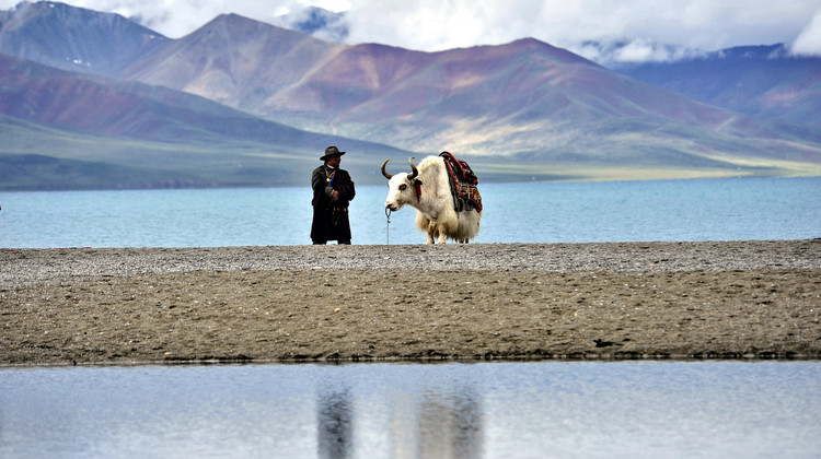
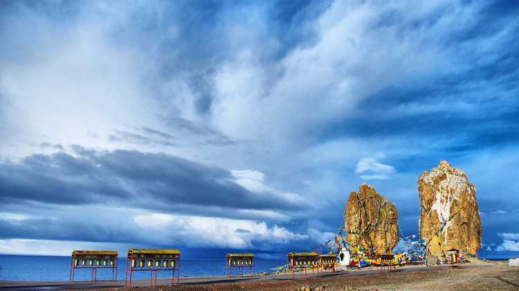
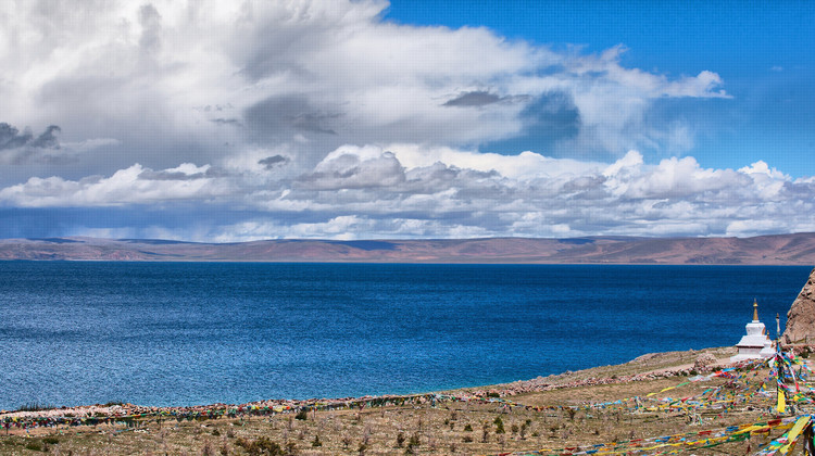
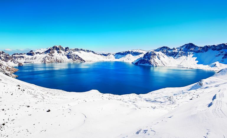
Namtso or Lake Nam (officially: Namco; Mongolian: Tenger nuur; Chinese: 纳木错; pinyin: Nàmù Cuò; Tibetan: གནམ་མཚོ་, ZYPY: Nam Co; “Heavenly Lake” in European literature: Tengri Nor, 30°42′N 90°33′E) is a mountain lake on the border between Damxung County of Lhasa prefecture-level city and Baingoin County of Nagqu Prefecture in the Tibet Autonomous Region of China, approximately 112 kilometres (70 mi) NNW of Lhasa.
The Karola Glacier (Kǎruòlā Bīngchuán, 卡若拉冰川), one of Tibet’s three major continental glaciers, is located at the junction of Nanggarze and Gyantse of Tibet, a little further away from Yamdroktso Lake. It’s only 71 kilometers from Gyantse, with easy access on your way to Gyantse. This glacier is also the source of the eastern part of the Nianchu River. This imposing glacier is visible from the main highway which links Lhasa and Shigatse, as it’s just 300 meters from the main highway.
The Karola Glacier is backed by the southern slope of Naiqin Kangsang Peak (7,191 meters), one of the four highest peaks in Tibet. The east glacier tongue is 3 kilometers long, 750 meters wide, and the end of the glacier tongue is 5,233 meters high; the west glacier tongue is 4.5 kilometers long, 1.5 kilometers wide, and the end of the glacier tongue is 5145 meters high. The entire glacier covers an area of 9.4 sq km.
With gentle slopes towards the top of the glacier giving way to hanging glacier forms below, it’s a spectacular sight, especially in the sunlight when it shines a brilliant white, like a giant thangka hanging on the mountain wall. If that’s not enough, the scenery also makes it well worth the journey, with black rocks contrasting starkly with the surrounding snow-capped peaks.
Tibet has few international flights, and you need to transit through other cities. I hope you have a pleasant trip.
Lhasa
FAQs
A: Take it slow on the first few days. Avoid strenuous activities, drink plenty of water, and give your body time to adjust.
A: It is the deepest canyon in the world and one of the largest. It is along the Yarlung Tsangpo River and has a unique geographical and natural landscape.
A: A beautiful lake at an altitude of 3,700 metres. It is about 18 km long and has a green color with a maximum depth of 120 metres.
A: The Potala Palace is a dzong fortress in Lhasa. It was the winter palace of the Dalai Lamas and is now a museum and a World Heritage Site. It is named after Mount Potalaka and has a rich history and architectural significance.
A:For 144hour-free-visa, you can refer this post 144-hour-Visa-Free Transit policies for Foreign Nationals – A Complete Guide in 2024 – ChinaTravelTips (china-travel-tips.com)

