Changchun + Changbai Mountain + Yanji 5-Day 4-Night Trip
★ [Scenic Highlights]
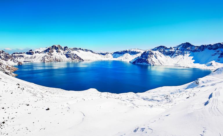
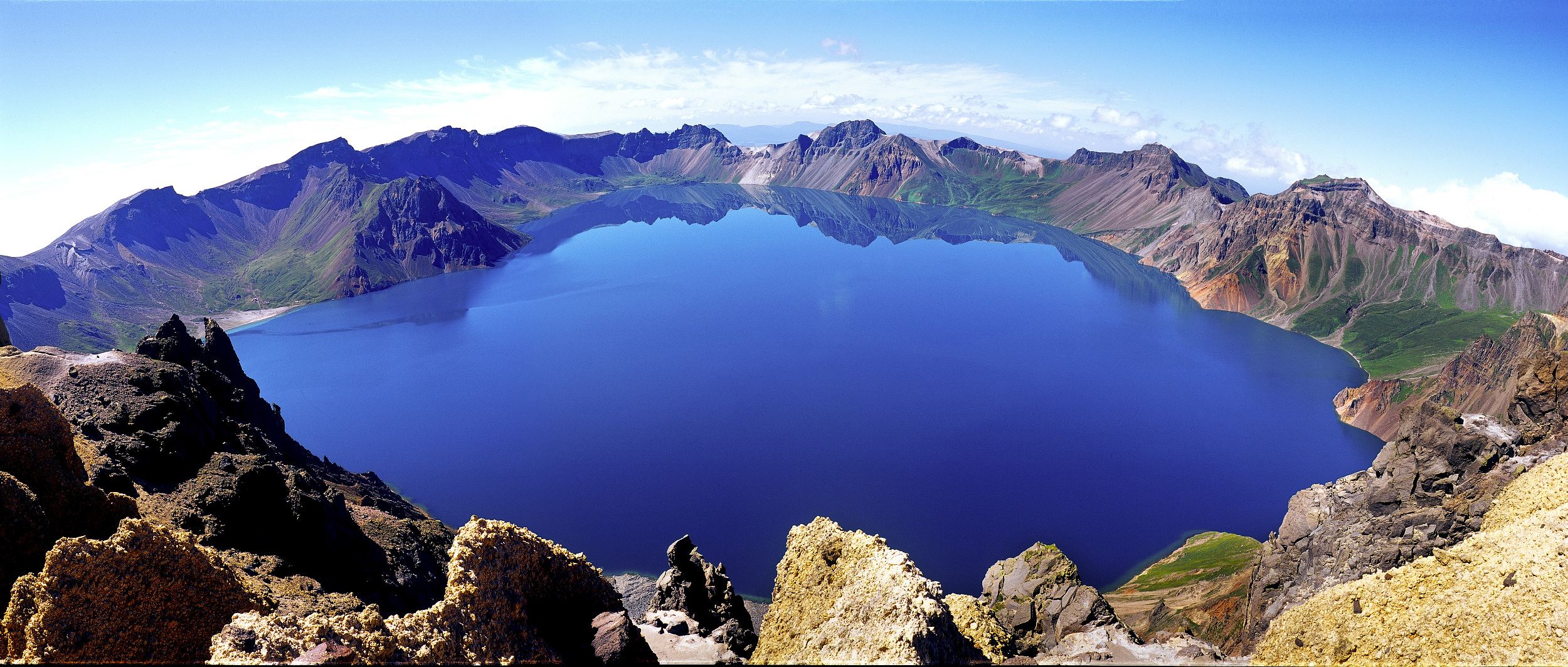
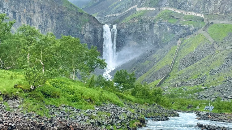
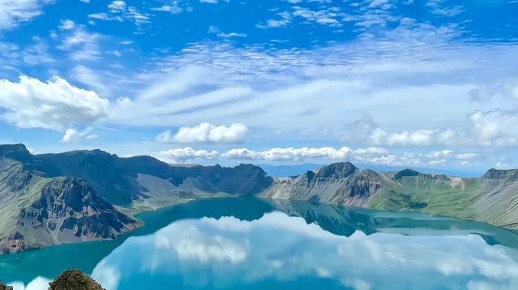
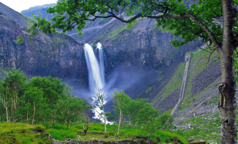
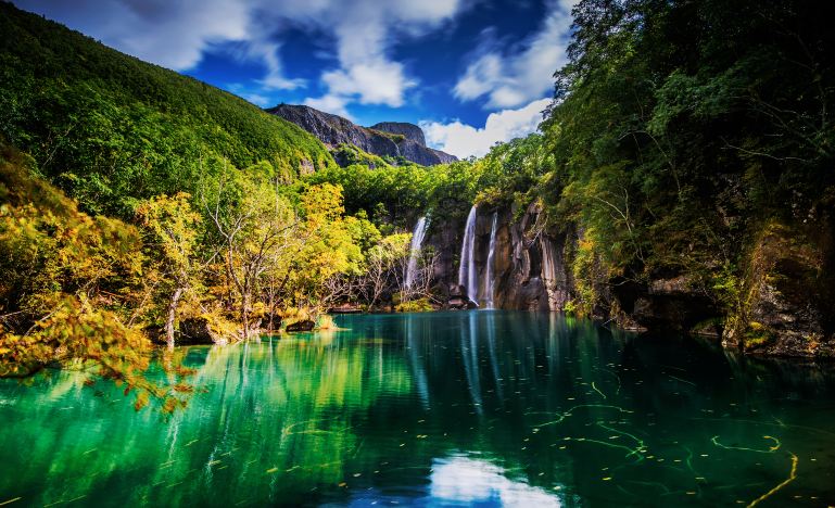
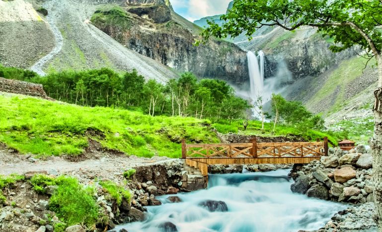
- ⛰ Changbai Mountain North Slope | Classic North Slope ‘Listen to the Changbai Waterfall & Falling from the Ninth Heaven & Watch the Clouds Roll and舒 · Observe the Secluded · Green Abyss Pool & Tranquil · Small Heavenly Pool’
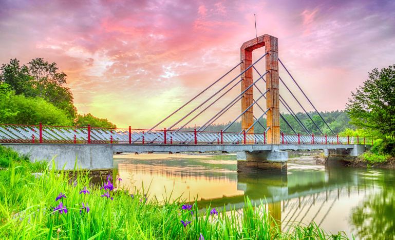
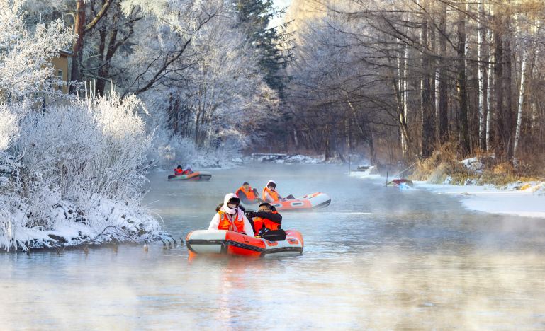
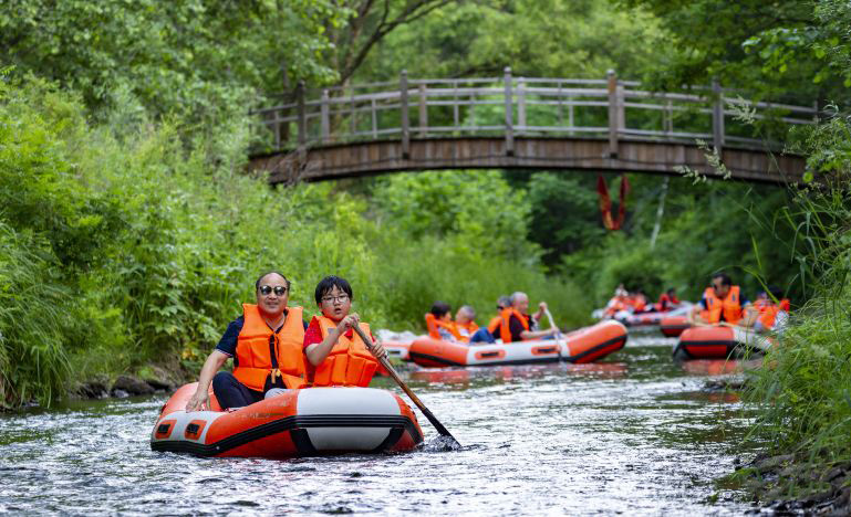
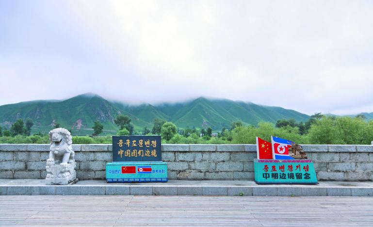
- 🌟 Changbai Mountain Internet-Famous Magic World Drifting & Tumen Port to view the scenery of the China-North Korea border
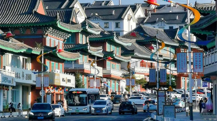
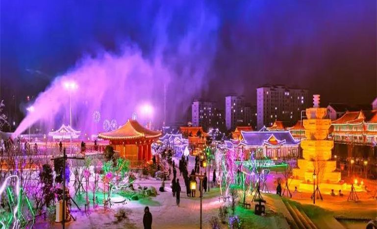
- 📸 Yanji Folk Park “Princess on the Run” take unrestrained beautiful photos
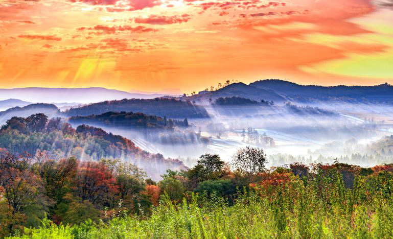
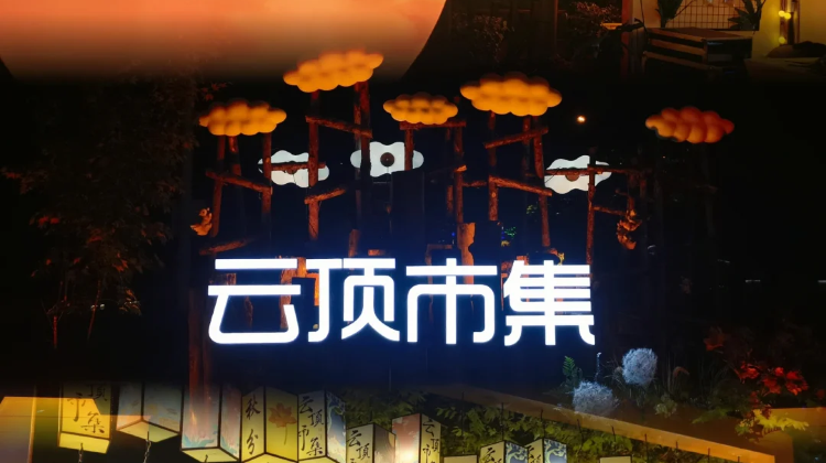
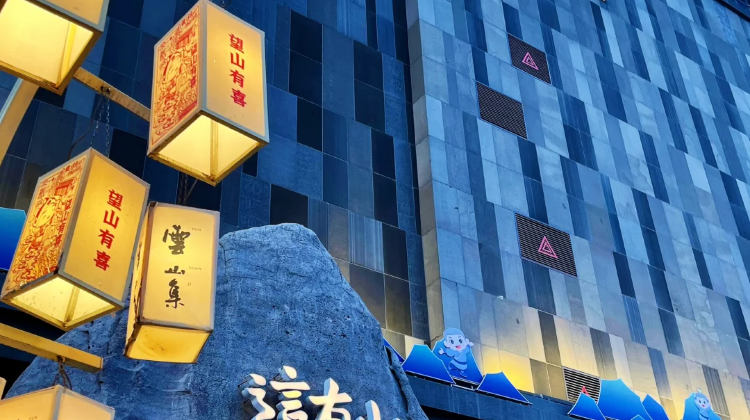
- 📸 Cloud Top Market – Erdao Town
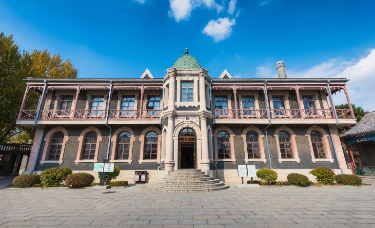
- 📍 Traverse the ruins of history and witness the life of Puyi – Puppet Emperor’s Palace 🏯
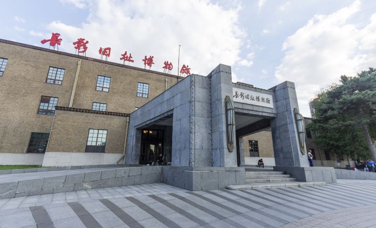
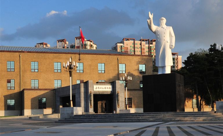
- 📽 If you also love movies – Old Changchun Film Studio Museum 🎞
- 54 Road Tram 🚃 Experience the artistic style of Changchun
Note:
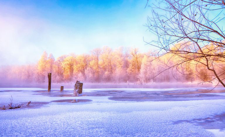
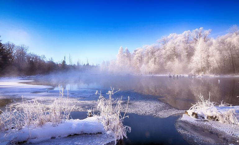
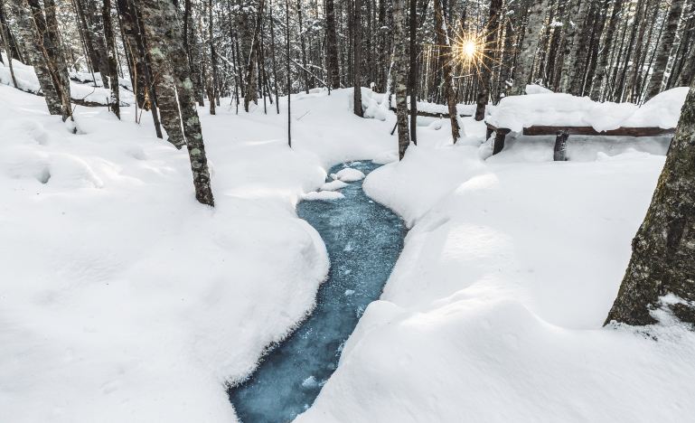
- Winter temperatures are extremely low, so keep warm.
Itinerary
Free Activities:
1. Guilin Road Commercial Street
2. Jingyuetan
3. Changchun Zoo and Botanical Park
4. Nanhu Park
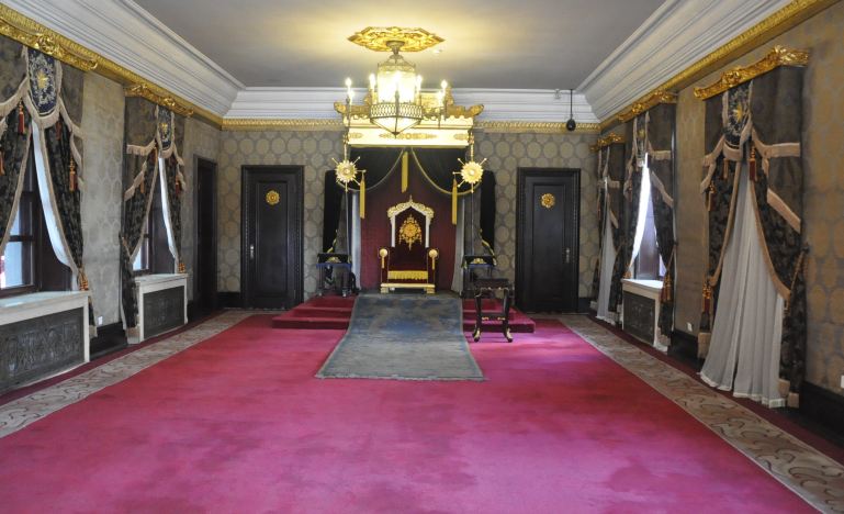
The Museum of the Imperial Palace of Manchukuo (simplified Chinese: 伪满皇宫博物院; traditional Chinese: 偽滿皇宮博物院; pinyin: Wěi Mǎn Huánggōng Bówùyuàn; lit. ‘The Illegitimate Manchukuo Imperial Palace Museum’) is a museum in the northeastern corner of Changchun, Jilin province, northeast China. The palace was the official residence created by the Imperial Japanese Army for China’s last emperor Puyi to live in as part of his role as Emperor of the Japanese puppet state of Manchukuo. In the People’s Republic of China the structures are generally referred to as the Puppet Emperor’s Palace & Exhibition Hall. It is classified as a AAAAA scenic area by the China National Tourism Administration
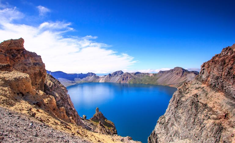
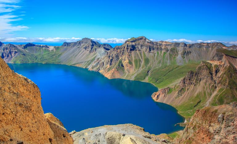
Paektu Mountain or Baekdu Mountain (Korean: 백두산; Hanja: 白頭山; RR: Baekdusan; MR: Paektusan) is an active stratovolcano on the Chinese–North Korean border. In China, it is known as Changbai Mountain (simplified Chinese: 长白山; traditional Chinese: 長白山; pinyin: Chángbáishān; Wade–Giles: Ch’ang2-pai2-shan1). At 2,744 m (9,003 ft), it is the tallest mountain in North Korea and Northeast China and the tallest mountain of the Baekdu-daegan and Changbai mountain ranges. The highest peak, called Janggun Peak, belongs to North Korea. The mountain notably has a caldera that contains a large crater lake called Heaven Lake, and is also the source of the Songhua, Tumen, and Yalu rivers. Korean and Manchu people assign a mythical quality to the mountain and its lake, and consider the mountain to be their ancestral homeland.
The mountain’s caldera was formed by an eruption in 946 that released about 100–120 km3 (24–29 cu mi) of tephra. The eruption was among the largest and most powerful eruptions on Earth in the last 5,000 years. The volcano last erupted in 1903, and is expected to erupt around every hundred years. In the 2010s, concerns over an upcoming eruption prompted several countries to commission research into when the volcano might next erupt.
The Tumen River (Chinese: 图们江; pinyin: Túmén Jiāng, Russian: река Туманная, Korean: 두만강; Korean pronunciation: [tumaŋaŋ]), also known as the Tuman River or Duman River, is a 521-kilometre (324 mi) long river that serves as part of the boundary between China (left shore), North Korea (right) and Russia (left), rising on the slopes of Mount Paektu and flowing into the Sea of Japan. The river has a drainage basin of 33,800 km2 (13,100 sq mi).
The river flows in northeast Asia, on the border between China and North Korea in its upper reaches, and between North Korea and Russia in its last 17 kilometers (11 mi) before entering the Sea of Japan. The river forms much of the southern border of Jilin Province in Northeast China and the northern borders of North Korea’s North Hamgyong and Ryanggang provinces. Paektu Mountain on the Chinese-North Korean border is the source of the river, as well as of the Yalu River. The two rivers and the region of Paektu Mountain between their headwaters form the border between North Korea and China.
The name of the river comes from the Mongolian word tümen, meaning “ten thousand” or a myriad. This river is badly polluted by the nearby factories of North Korea and China; however, it still remains a major tourist attraction in the area. In Tumen, Jilin, a riverfront promenade has restaurants where patrons can gaze across the river into North Korea The Russian name of the river is Tumannaya, literally meaning foggy.
💡 The mornings in Yanji seem to come exceptionally early. When I thought that five o’clock must be a time of faint dawn and few people, it was already a clear sky for thousands of miles outside… The joy of Yanji is not in the crowded check-in spots and scenic areas, but in the small restaurants hidden in the alleys and the abundant mountain goods in the market. Strolling through the streets along the Bulghatong River filled with hanging signs in Hangeul, learning to live like the locals, is the true essence of experiencing this famous border town.
There are many breakfast options, such as fried rice cakes, rice cakes, potato pancakes, fish cakes, rice cakes, potato dumplings, and various small steamed buns with fragrant meat, which are too many to eat. You can also bring some Korean delicacies for your family: beef tendon, pickles, kimchi, snacks, etc.
FAQs
A: It is a museum in Changchun. It was the official residence created by the Imperial Japanese Army for Puyi to live in as Emperor of Manchukuo.
A: Paektu Mountain is an active stratovolcano on the Chinese-North Korean border. In China, it is known as Changbai Mountain.
A: The Tumen River is a 521-kilometer long river that serves as part of the boundary between China, North Korea, and Russia.
A:For 144hour-free-visa, you can refer this post 144-hour-Visa-Free Transit policies for Foreign Nationals – A Complete Guide in 2024 – ChinaTravelTips (china-travel-tips.com)

