Hulun Buir Grassland + Aershan + Erguna + Manzhouli 7-Day 6-Night Small Group Trip
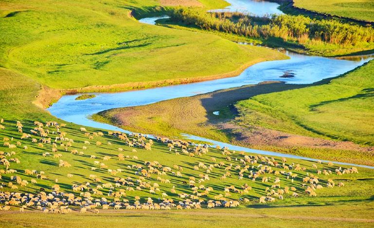
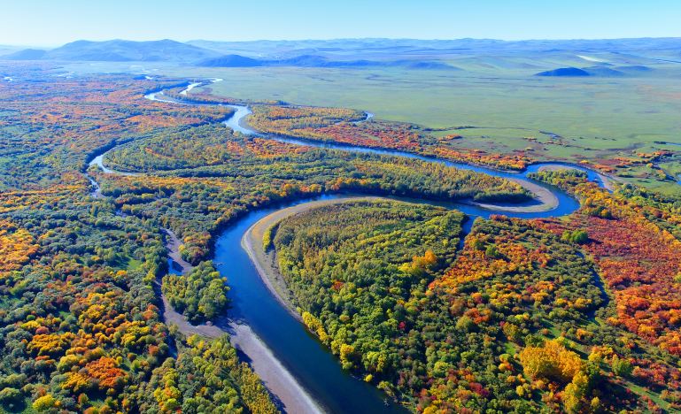
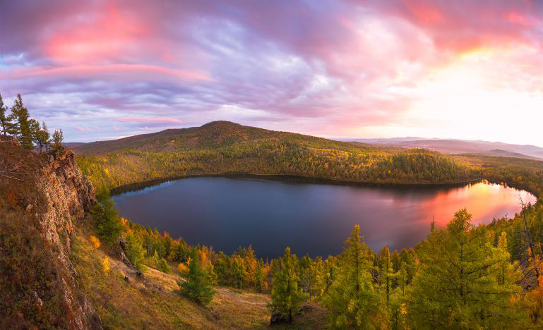
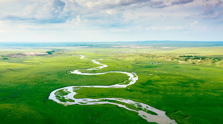
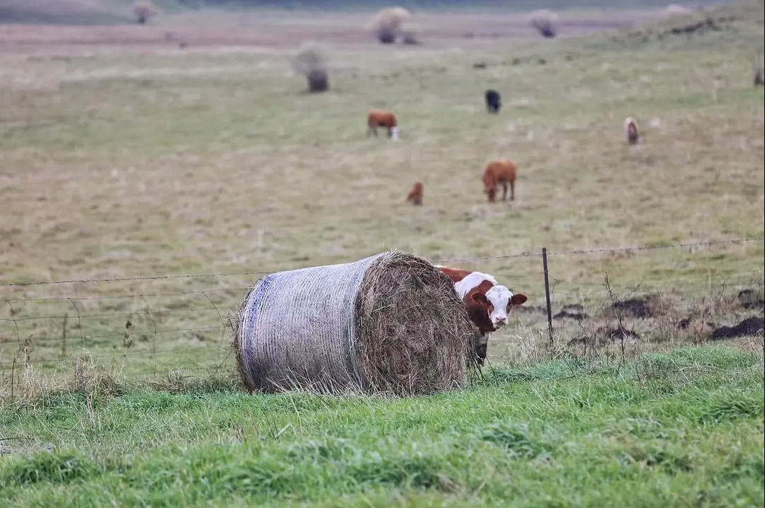
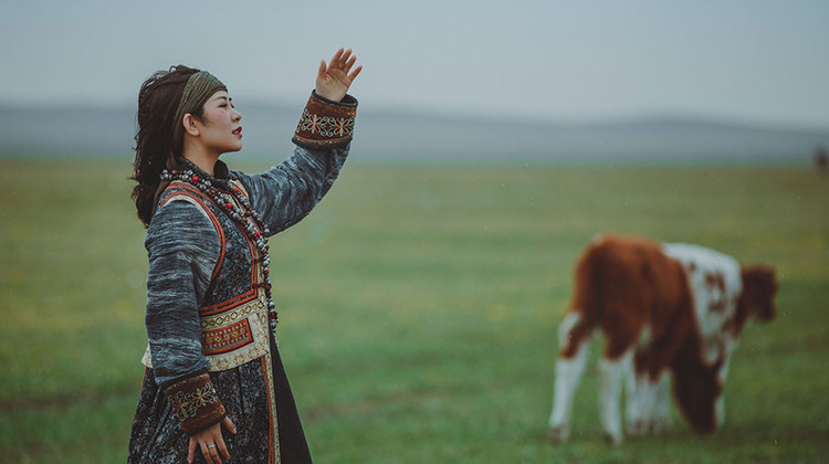
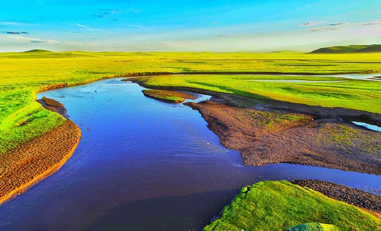
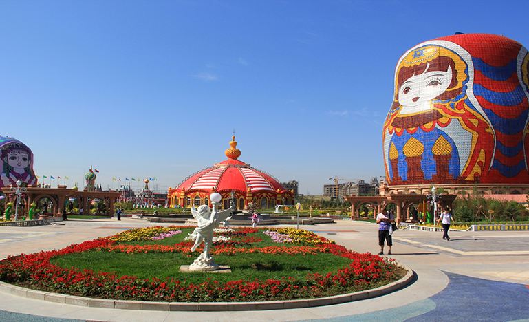
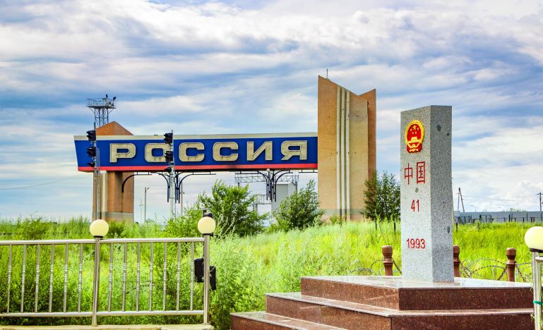
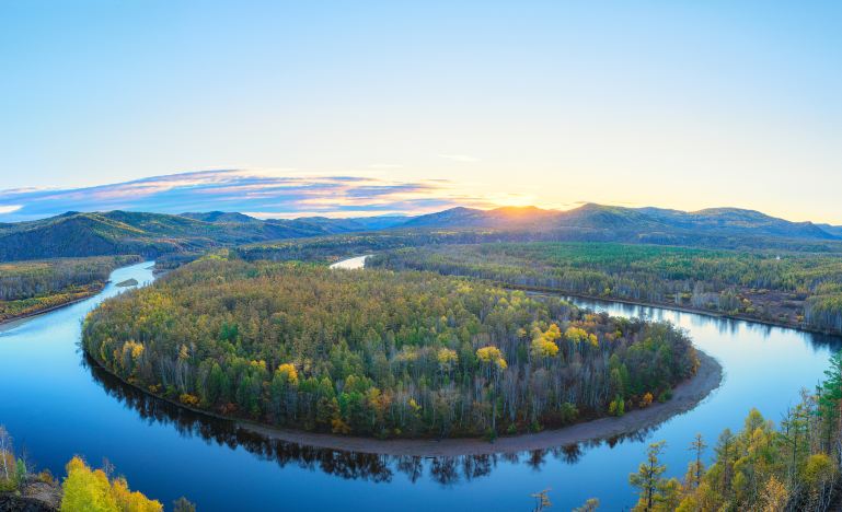
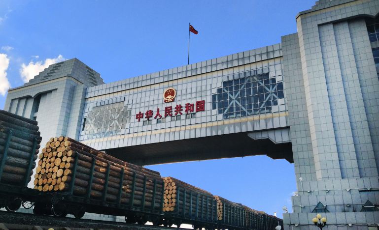
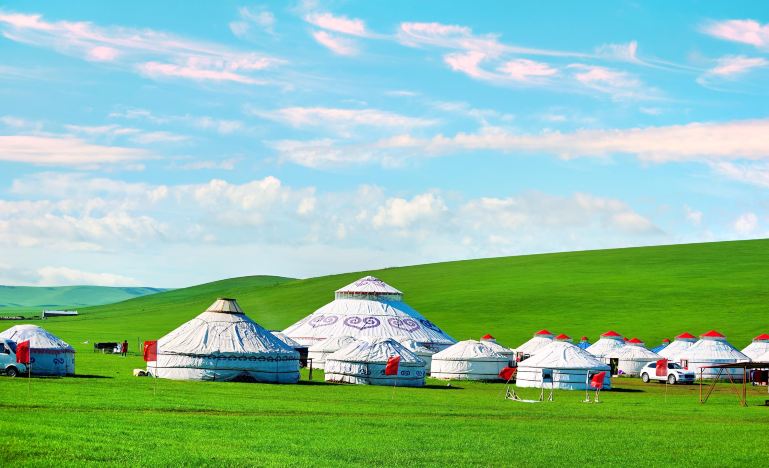
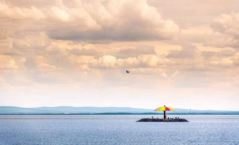
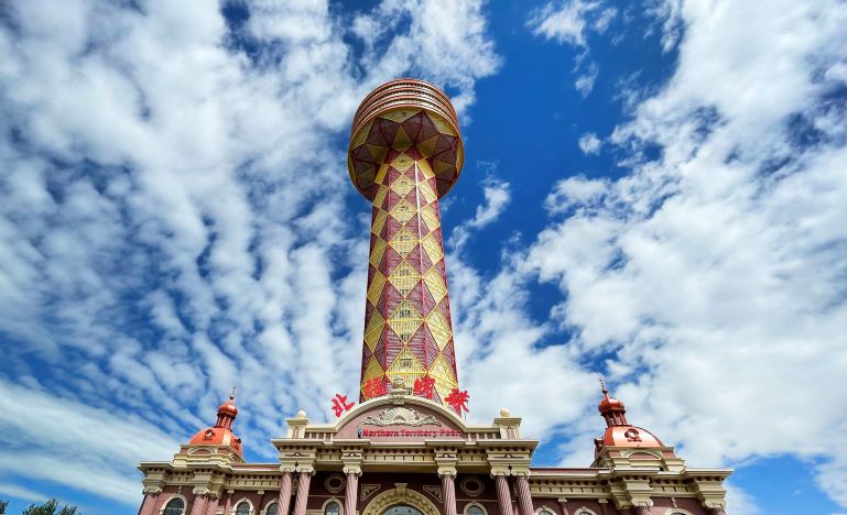
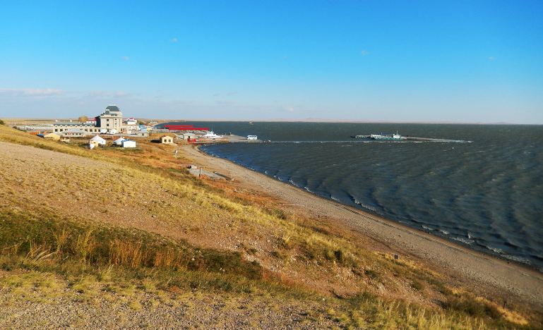
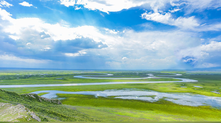
[Preferred Itinerary] Experience the winding Moerdaoge River with its nine bends and eighteen turns, join the bonfire party for a night of revelry, immerse in herdsmen’s life with activities such as [feeding lambs + milking cows + dressing in Mongolian attire + archery], and from the Beiguan Mingzhu Observation Tower in the National Gate Scenic Area, enjoy a distant view of the Russian town. Explore the less-crowded west coast of Hulun Lake, and spend a full day at the Alashan National Forest Park enjoying its various attractions [Heavenly Pool + Santan Gorge + Shitang Forest + Turtle Back Rock + Rhododendron Lake], and visit the Anti-Fascist Memorial Park.
Note:
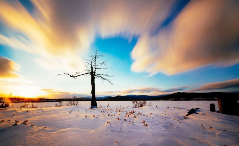
- The winter temperature is around minus 20 degrees Celsius.
Itinerary
[Suggested Item List]
1: Windproof and warm outerwear, long-sleeved clothes, and comfortable travel shoes. There is a large temperature difference between day and night on the grassland, and the weather changes quickly, so please keep warm and dress appropriately for cold weather.
2: Anti-mosquito products. There are many mosquitoes on the grasslands and by the lakes, so it is recommended to bring mosquito repellent, essential balm, and herbal ointments.
3: Sun protection and moisturizing products. The ultraviolet rays on the grassland are strong, and the climate is dry with a lot of wind, so sun protection and moisturizing are essential.
4: Sunglasses, hats, and parasols.
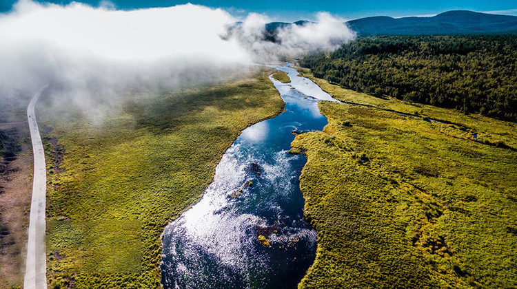
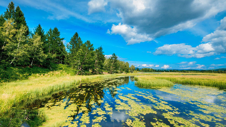
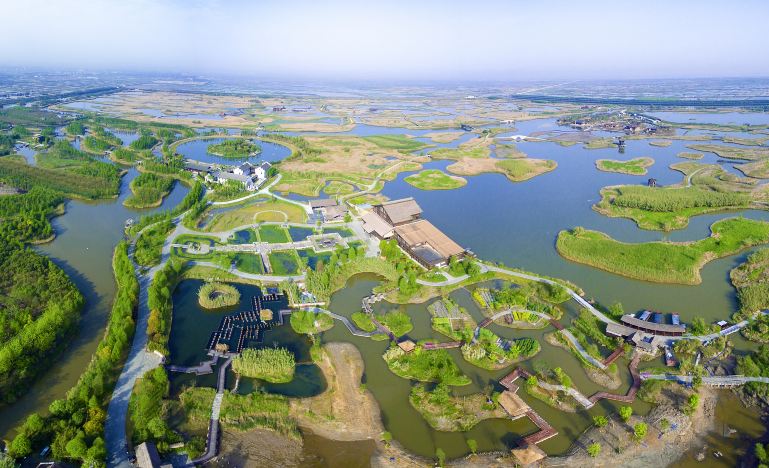
The Hulun Buir Grassland is located in the northeastern part of the Inner Mongolia Autonomous Region, on the Hulun Buir Plateau to the west of the Greater Khingan Range, named after Hulun Lake and Bei Lake. The terrain is generally higher in the east and lower in the west, with an altitude between 650 and 700 meters. It is about 350 kilometers wide from east to west and about 300 kilometers long from north to south, covering a total area of approximately 113,000 square kilometers (1.49 million mu), of which the utilizable grassland area is 8.333 million hectares. The Hulun Buir Grassland is a world-famous natural pasture and is one of the four major grasslands in the world. It is known as the best grassland in the world and is one of the top twenty tourist attractions in China.
The Hulun Buir Grassland is the birthplace of many ancient civilizations and nomadic peoples, including the Donghu, Xiongnu, Xianbei, Shiwei, Uighur, Turkic, Khitan, Jurchen, Mongol and other ethnic groups, which have thrived here. It is hailed by the historical academic community as the “Cradle of Northern Chinese Nomadic Peoples” and holds a high position in world history.
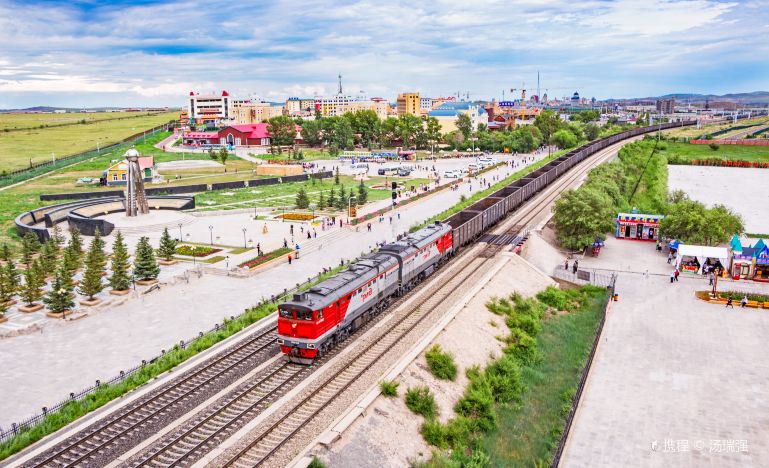
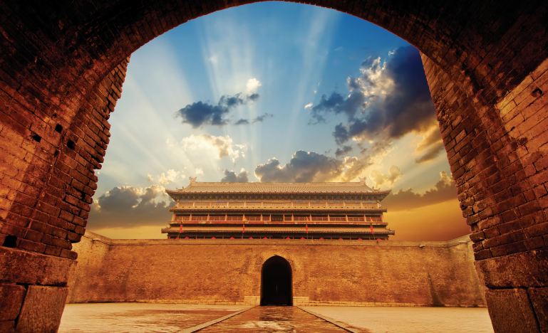
Manzhouli (Chinese: 满洲里; Mongolian: Манжуур хот; ᠮᠠᠨᠵᠤᠤᠷ ᠬᠣᠲᠠ) is a sub-prefectural city located in Hulunbuir prefecture-level city, Inner Mongolia Autonomous Region, China. Located on the border with Russia, it is a major land port of entry. It has an area of 696.3 square kilometres (268.8 sq mi) and a population of almost 250,000 (in 2010).
Arxan is located in the northwest of Hinggan League, with latitude ranging from 46° 39′ to 47° 39′ N and longitude ranging from 119° 28′ to 121° 23′ E; the maximal north–south extent is 118 km (73 mi), while the maximal east–west width is 142 km (88 mi). It spans part of the southwest of the Greater Khingan Range.
Due to the upper-mid latitude and elevation of around 1,000 m (3,280 ft), the climate of Arxan is a subarctic (Köppen Dwc), with strong monsoonal influence, severely cold winters and warm, rainy summers, and low temperatures averaging below freezing for eight calendar months; the monthly 24-hour average temperature stays below freezing for six calendar months. The monthly 24-hour average temperature ranges from −24.8 °C or −12.6 °F in January to 17.1 °C or 62.8 °F in July, and the annual mean is −2.31 °C or 27.8 °F. For much of the year, diurnal temperature variation is large and frequently in excess of 15 °C or 27 °F. Nearly three-fourths of the annual precipitation occurs from June to September; however, precipitation is frequent year-round, with both frequency and relative humidity peaking in summer and there being a secondary humidity peak during the winter.
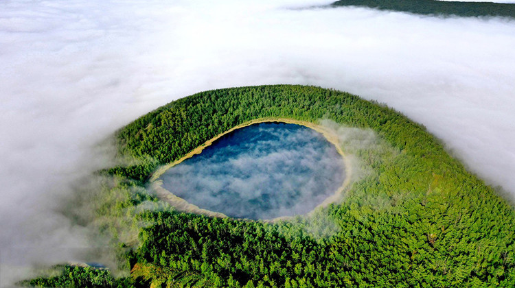
The Arxan-Chaihe Volcanic Field, in the central Da Hinggan Mountains of Inner Mongolia in NE China, contains at least 27 volcanic features. The youngest cones, including Yanshan and Gaoshan, produced basaltic lava flows that blocked drainages of the Halahale River and created six lava-dammed lakes. Radiocarbon dates from scoria deposits document eruptions about 2,000-1,900 years ago. The area has been designated as a National Geopark.
This volcano is located within the Arxan, a UNESCO Global Geopark property.
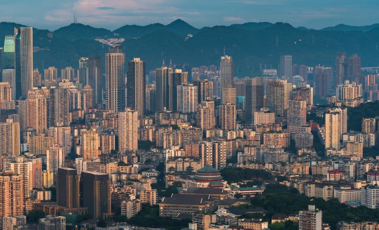
Hailar District, formerly a county-level city, is an urban district that serves as the seat of the prefecture-level city Hulunbuir in northeastern Inner Mongolia, China. Hulunbuir, due to its massive size, is a city in administrative terms only, being mainly grassland and rural.
Long known as the “Pearl of the Grasslands”, Hailar acts as a gateway between China and Russia. The district spans an area of 1,319.8 square kilometers,[1] and has an estimated population of 365,000 as of 2010. The district serves as a regional center for commerce, trade, and transportation.
After the Mukden Incident in 1931, Japan invaded China’s northeastern provinces and established the puppet state of Manchukuo. Hailar Fortress, a huge underground Japanese fortress, was completed in 1937 by forced Chinese laborers. The Kwantung Army garrisoned in Manchukuo built the fortress complex as one of biggest Japanese fortifications in Manchukuo. Some of the fiercest fighting of the Soviet–Japanese War in August 1945 took place around Hailar. Prisoners of war and civilians were massacred by the Kwantung Army in August 1945 during the final month of World War II. The World Anti-fascist War Hailar Memorial Park, a museum and war memorial, is built on the site of the Hailar Fortress, parts of the fortress tunnels are open for public viewing.
Hailar does not have international flights; it is necessary to transfer in Beijing or other cities.
FAQs
A: Windproof and warm outerwear, long-sleeved clothes, comfortable travel shoes, anti-mosquito products, sun protection and moisturizing products, sunglasses, hats, and parasols.
A: It is located in the northeastern part of the Inner Mongolia Autonomous Region, on the Hulun Buir Plateau to the west of the Greater Khingan Range.
A: There are some yurts and guesthouses available for tourists. It’s advisable to book in advance, especially during peak seasons
A: It has a subarctic climate with strong monsoonal influence, severely cold winters and warm, rainy summers. The temperature is low for most of the year.
A: Manzhouli is a sub-prefectural city located in Hulunbuir, Inner Mongolia Autonomous Region, China. It is a major land port of entry on the border with Russia.
A:For 144hour-free-visa, you can refer this post 144-hour-Visa-Free Transit policies for Foreign Nationals – A Complete Guide in 2024 – ChinaTravelTips (china-travel-tips.com)

